
DAY 1 China Beach to Bear Beach 2:54:08 h:mm:ss 7.99 km
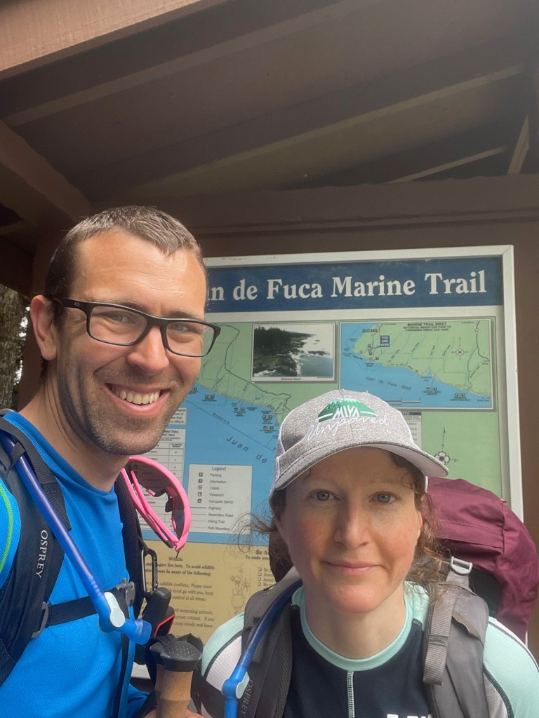
We left home in my mothers car for the drive to the start of our adventure. We arrived at the trail head around 6 pm a little later than we had anticipated and set off on our journey.

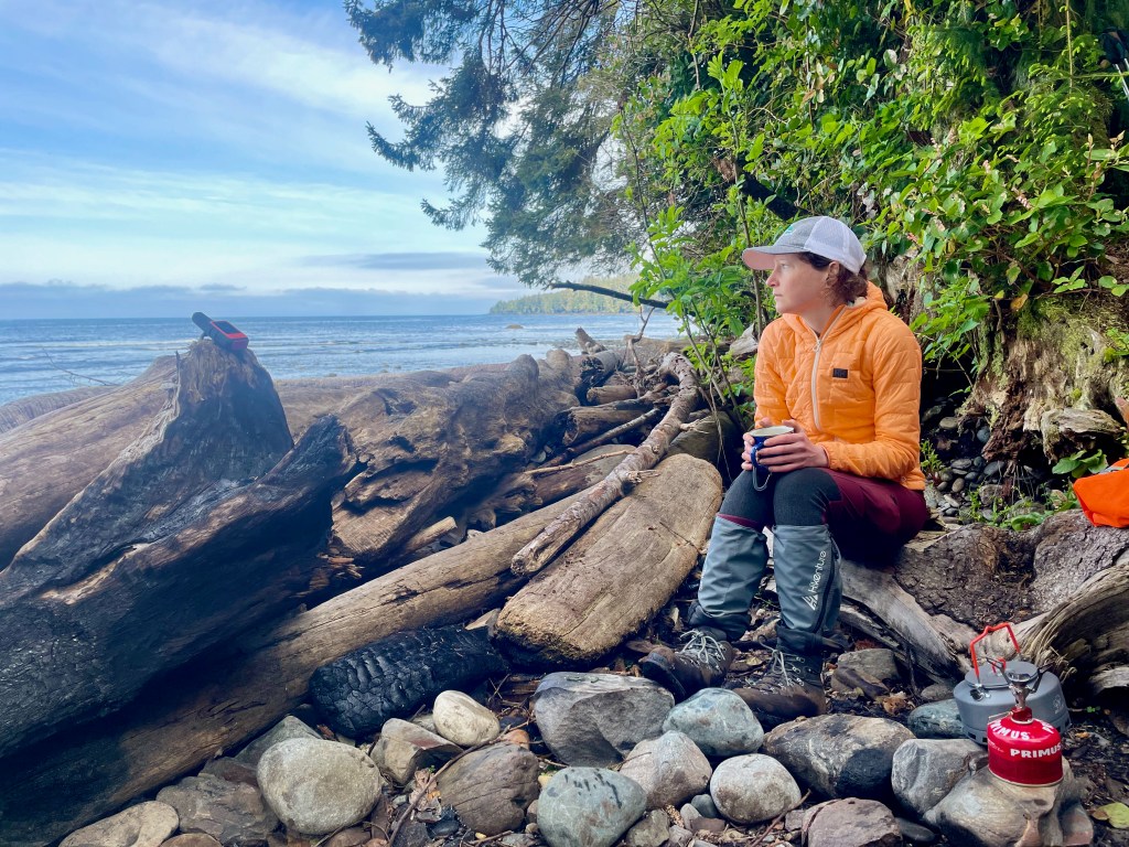
We had planned to at least get our feet wet and make it to mystic beach for the night at the very least. We arrived at mystic quite quickly and decided to continue on and get to Bear Beach. This part of the journey was pretty quick and did not have a lot of elevation or a ton of mud to get through so we progressed quite quickly and found an amazing campsite right off the beach. We set up the tent as the sunset, we had a small fire on the beach and made dinner. This was truly the best start to the trip we could have ever asked for.
DAY 2 Bear Beach to West West Sombrio 9:36:04 h:mm:ss 18.4 km
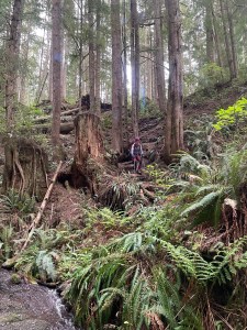
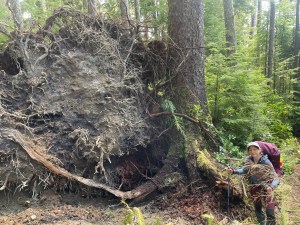
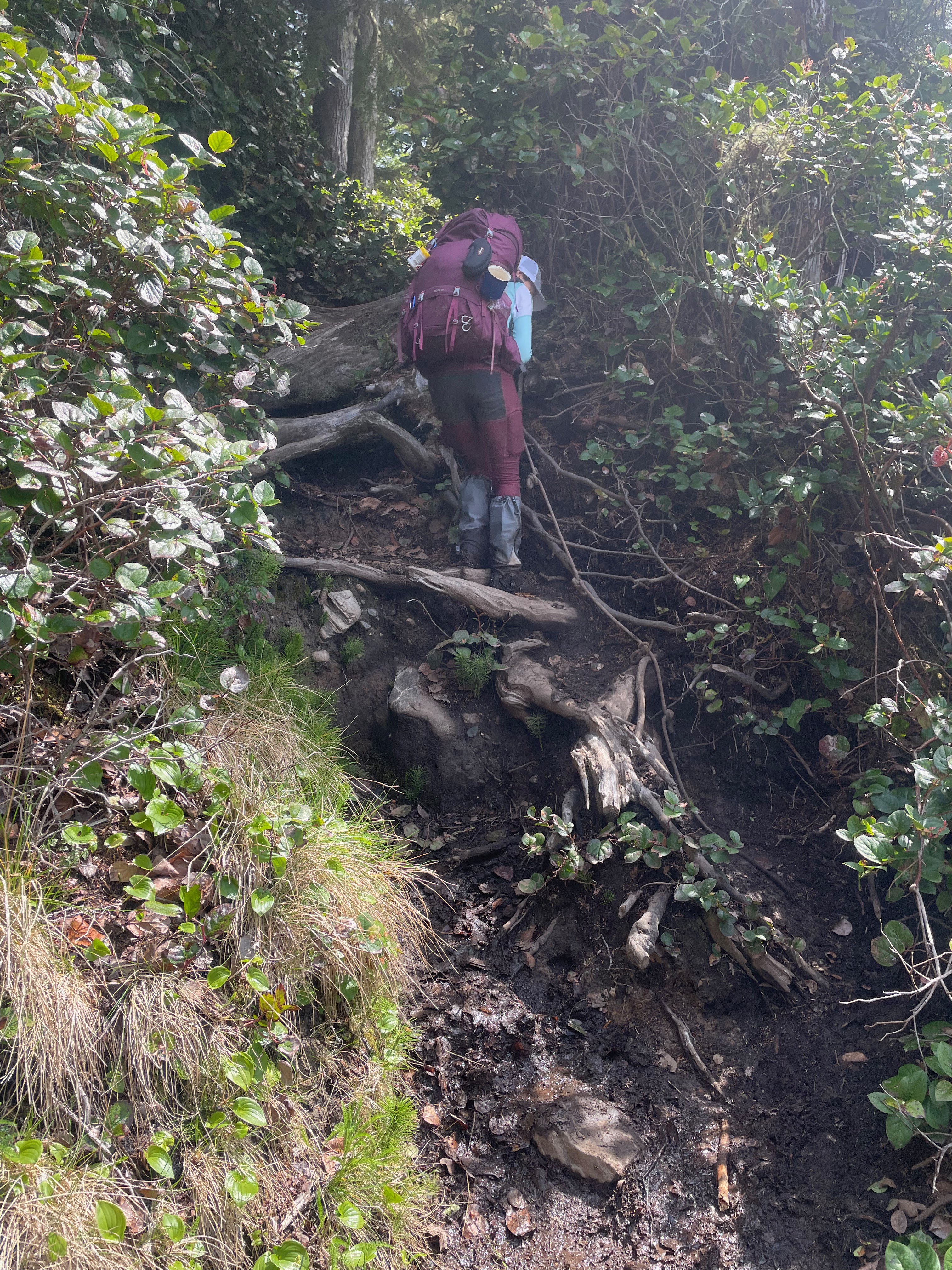
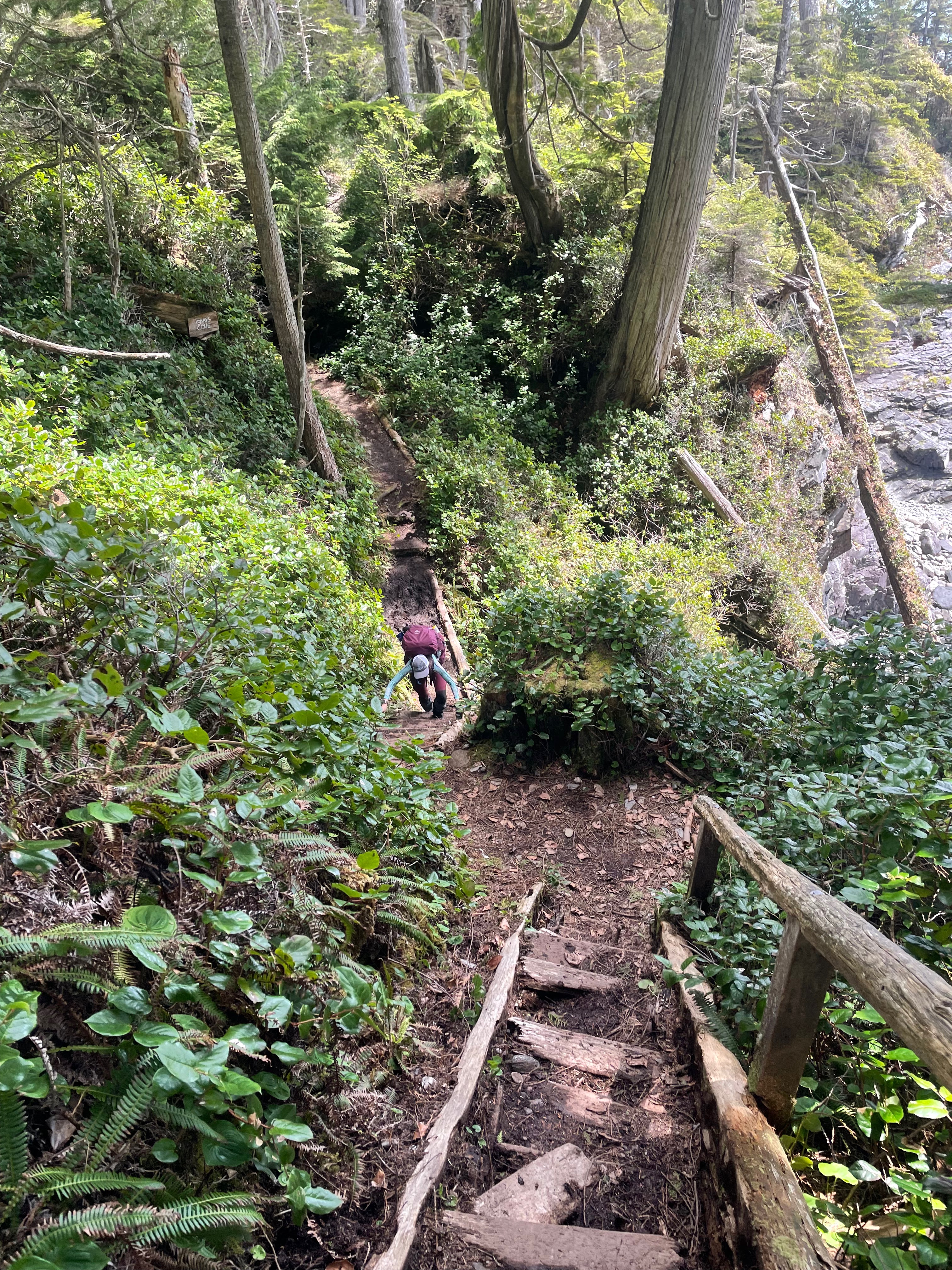
We had breakfast and packed up to embark on the biggest day in our plan. It was not only the longest day we had planned it was also the hardest part of the trail. There was actually everything in this leg up, down, roots, mud and rocky shores. It was incredible and humbling all at the same time. We had hoped to push all the way to Little Kuitche however we were short by about 3kms as our pace ground down to a halt.


That night we found a small secluded camping spot right by the beach and all seemed well until the middle of the night we heard scuffling around our tent. The noise got louder and louder and our tent was hit a few times by some sort of creature. I got out of the tent to see what was going on and never found the culprit. We moved our bags around and changed our arrangement a little which seemed to make the creature leave us mostly alone. In the morning we believed that it was most likely a sea otter and although we lost some sleep over it we had no real issues.
Day 3 West West Sombrio to Payzant Creek 5:13:54 h:mm:ss 9.50 km
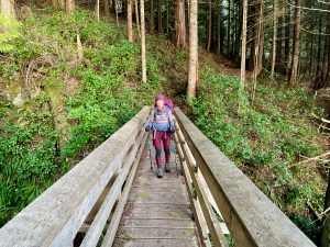
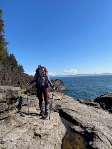
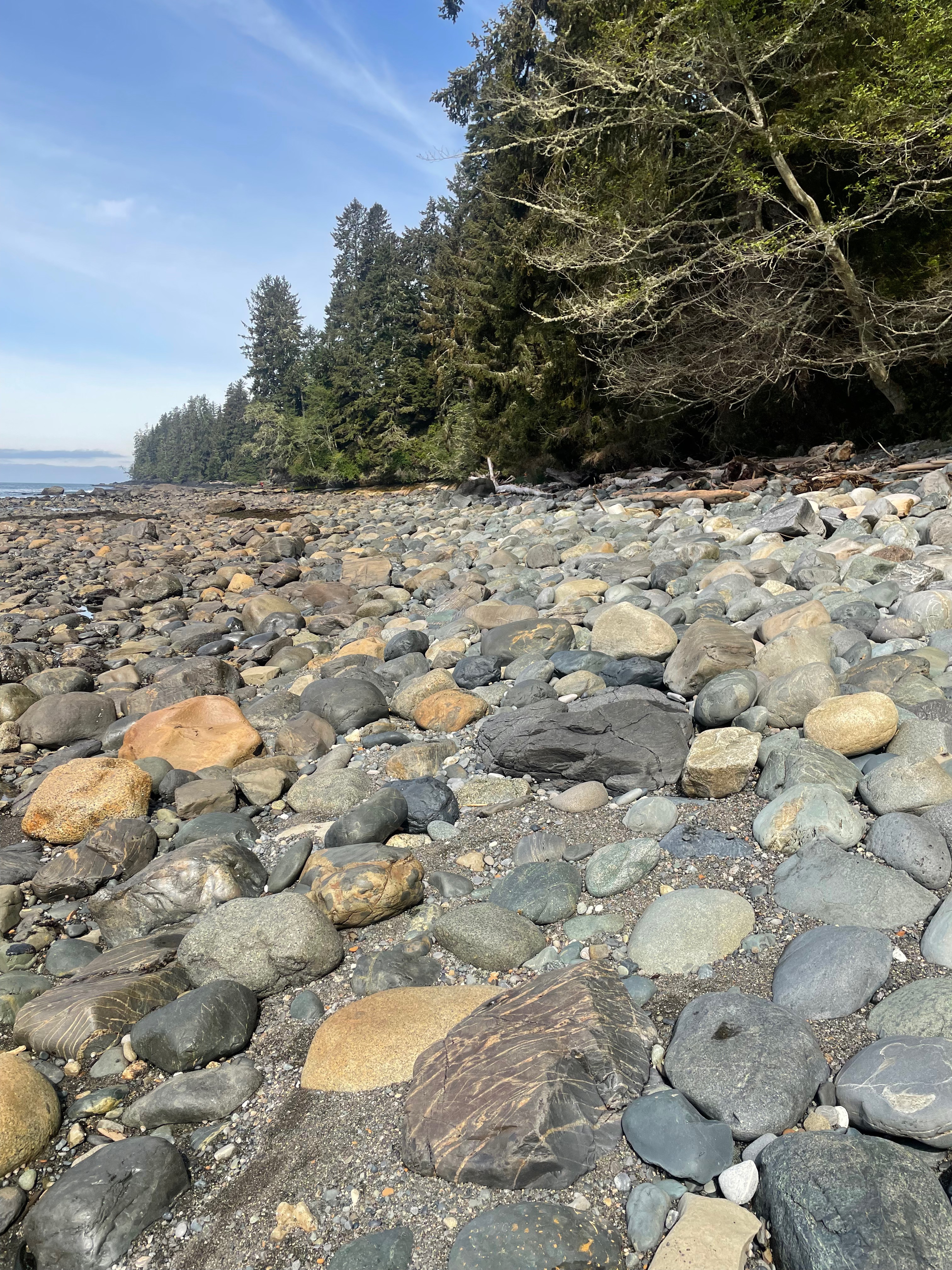
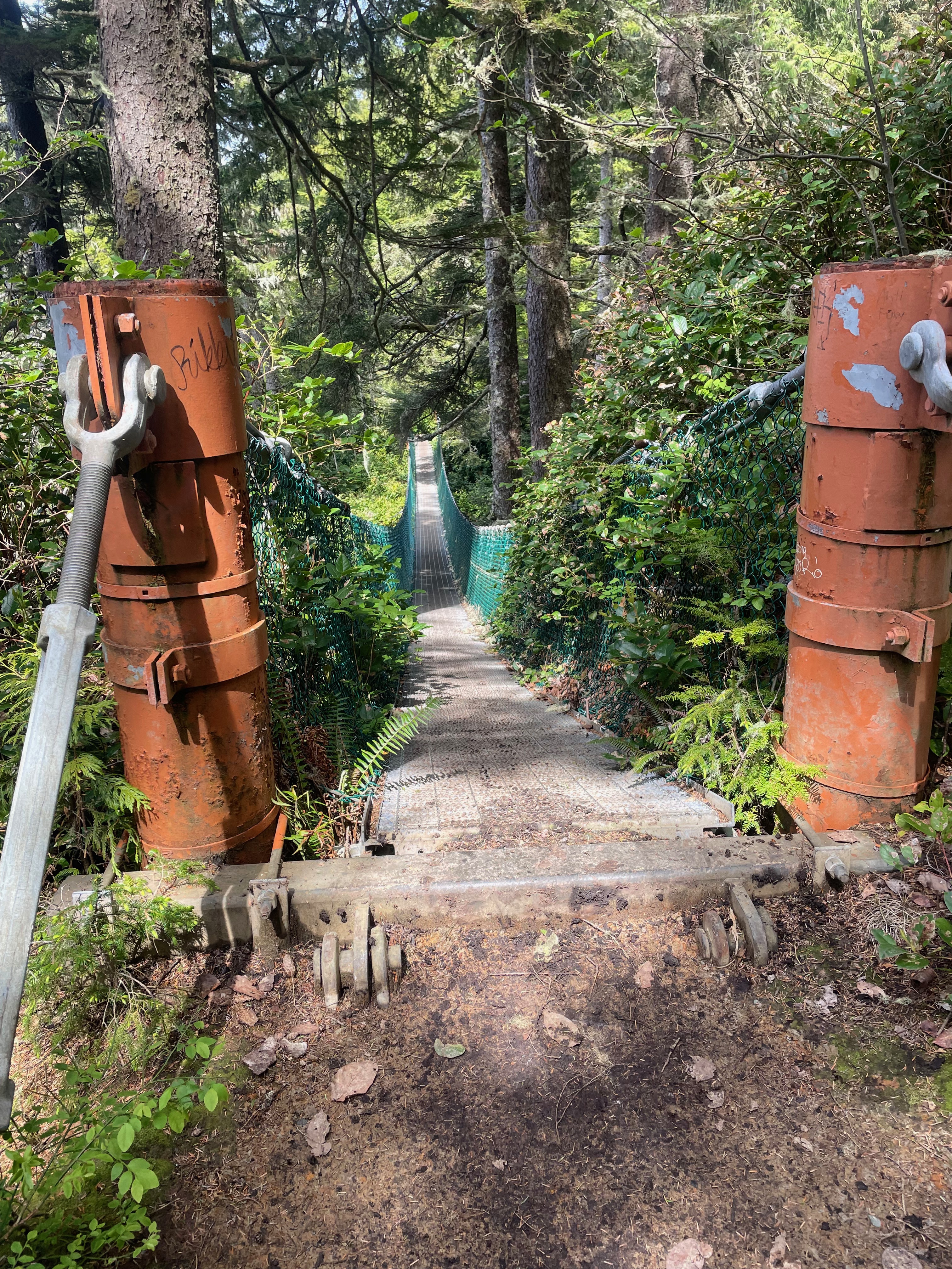
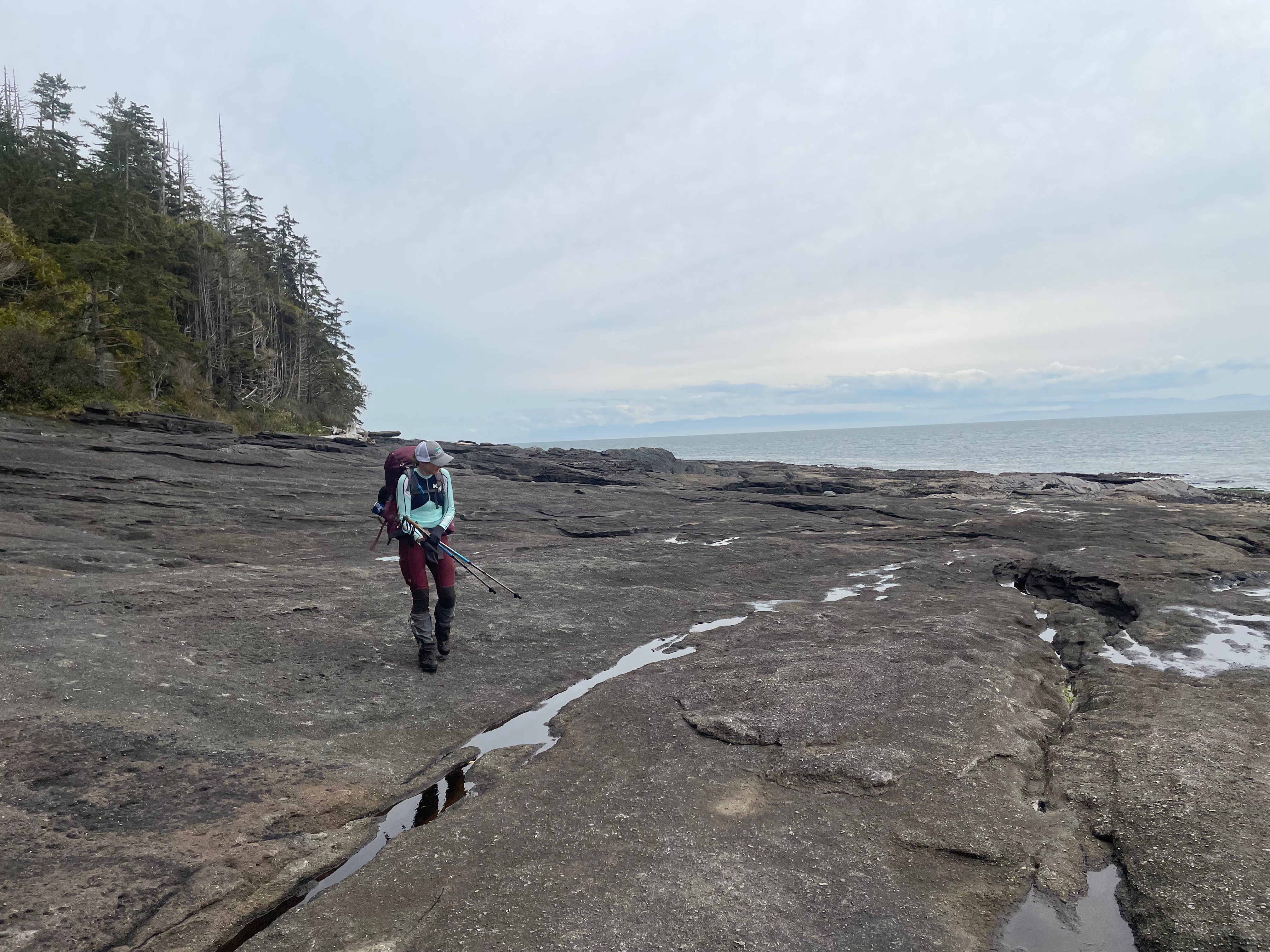
With tired bodies and tired minds we started day 3. We were now ahead of schedule and would have two easier days to get to the end. This section had quite a bit of mud and some elevation, it also had spectacular rocky beach to cross. A number of bridges new and old as well as some sections that were completely washed away. We ended this leg at Payzant Creek camping area which is the first one we stayed at not on a beach. It is a beautiful wooded area with a nearby creek for water.

Day 4 Payzant Creek to Botanical Beach 2:44:17 h:mm:ss 7.28 km
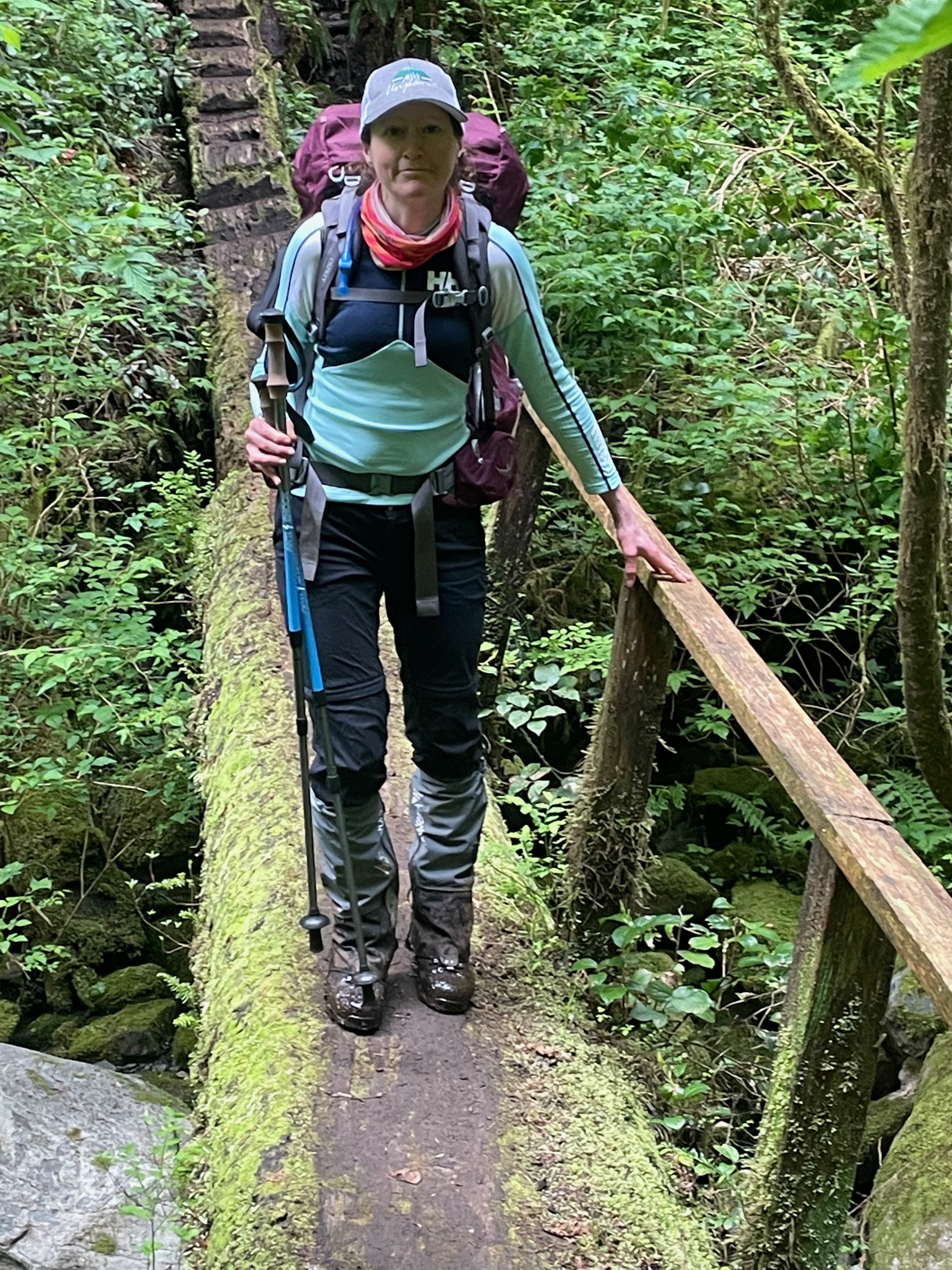
The final day was going to be the easiest day yet. We set off through the woods and although muddy the terrain was a lot more forgiving than previous the days. We got to the finish and waited for our ride which had a slight miscommunication and thought we were meeting them at the pub and not the trail head. With no reception and no idea where our ride was we waited 2 hours before deciding to walk to the main intersection where the pub was. The first car in the parking lot was our ride and they had been at the pub for those 2 hours wondering what had taken us so long. A few laughs a good meal and a couple beers later and it was the end to an amazing long weekend.

Leave a comment